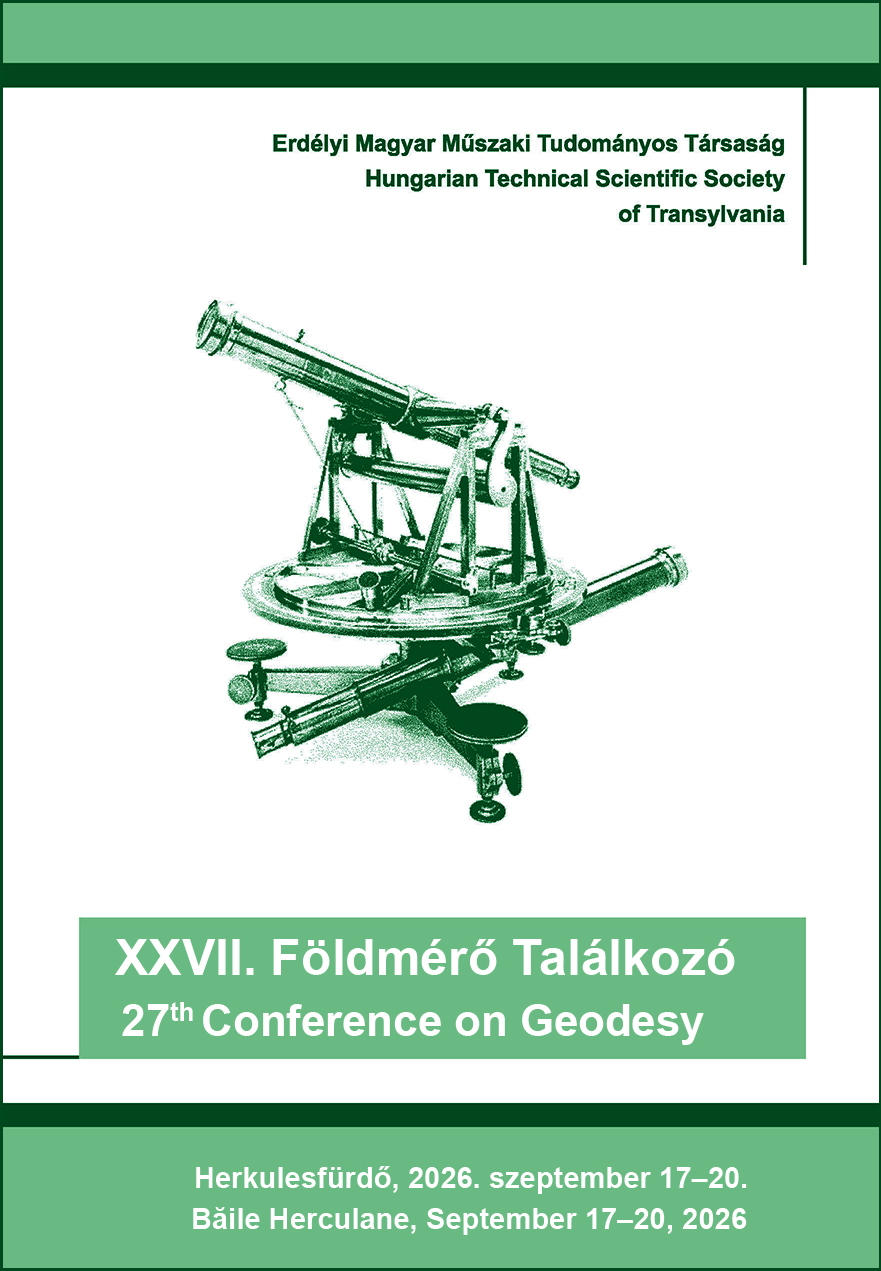
Két magyarországi geodéziai origó: Nadap és Gellérthegy
On Two Geodetic Origins in Hungary: Nadap and Gellérthegy
Keywords:
benchmark, levelling network, triangulation point, coordinate system, projection / szintezési alappont, szintezési hálózat, háromszögelési pont, koordináta-rendszer, vetületAbstract
Nadap is a village in the Velence Mountains. It is notable for the fact that all heights in Hungary are measured relative to the primary benchmark (known as the „ancestor point”) established there in 1888. Seven such primary benchmark points were established in the countries of Central Europe, and (with the exception of the one in Romania) they still exist today. In the 1950s, seven additional primary benchmark points were established in Hungary, including a new one in Nadap. The first part of this article reviews the history and role of the Nadap levelling reference points. Interestingly, there are two replicas of the obelisk marking the main reference point. Both replicas are linked to the student tradition of Selmec.
The second part of the article focuses on the Gellérthegy control point, an iconic point in Hungary’s triangulation networks. This horizontal control point was restored in 2026, when the entire Citadel was renovated and rebuilt. The Gellért Hill meridian, which passes through the marker, is now visible on the paving. The history of this reference point is also interesting, as the eastern pillar of the Gellért Hill Observatory — which operated here from 1815 to 1849 — served as the origin of the Budapest stereographic projection (a projection used to create 73% of Hungary’s cadastral maps). Starting in 1934, this point became also the origin of Budapest’s independent local central triangulation network and coordinate system; three Budapest metro lines were constructed using this system. The relocation of the pillar, which became necessary here, was also a unique surveying challenge.
Kivonat
Nadap a Velencei-hegység egy települése. Arról nevezetes, hogy az 1888-ban ott létesített szintezési főalapponthoz (az úgynevezett ősponthoz) viszonyítunk minden magasságot Magyarországon. Hét ilyen főalappontot létesítettek Közép-Európa országaiban, ezek (a romániai kivételével) ma is léteznek. Az 1950-es években hét újabb szintezési főalappontot hoztak létre Magyarországon, egy újat Nadapon is. A nadapi szintezési alappontok történetét, szerepét tekinti át a cikk első része. Érdekesség, hogy a főalappontot védő obeliszknek két másolata is van. Mindkettő a selmeci diákhagyományokhoz kötődik.
A cikk második része a magyarországi háromszögelési hálózatok ikonikus pontjáról, a Gellérthegy alappontról szól. Ez a vízszintes alappont 2026-ban megújult, amikor az egész Citadellát is felújították, átépítették. Láthatóvá vált a burkolatban a ponton átmenő gellért-hegyi meridián is. Ennek az alappontnak a története is érdekes, hiszen az 1815-1849 között itt működött Gellérthegyi Csillagvizsgáló keleti pillére volt a budapesti sztereografikus vetület kezdőpontja (amely vetületben a magyarországi kataszteri térképek 73 %-a készült). 1934-től ugyancsak ez a pont lett az önálló budapesti centrális hálózat és koordináta-rendszer origója; ebben a rendszerben épült meg három budapesti metróvonal. Az itt szükségessé vált pillér-áthelyezés megoldása is különleges földmérési feladat volt.
References
[1] Bendefy L. Szintezési munkálatok Magyarországon 1820-1920. Akadémiai Kiadó, Budapest, 1958. 736 old.
[2] Busics Gy. Adalékok a nadapi szintezési főalappontok történetéhez. NymE GEO, Székesfehérvár, 2013. 81 old. ISBN 978-963-359-010-2. http://mek.oszk.hu/22200/22235 (Utolsó letöltés: 2026. 08. 28.).
[3] Busics Gy. Újabb emléktábla került a selmeci emlékkő belsejébe. Geodézia és Kartográfia, 2023/3. 27-28
[4] Busics Gy., Égető Cs., Rózsa Sz., Tóth Z. OGPSH alappont pótlása a Gellért-hegyen. Geodézia és Kartográfia, 2025/3. 4-10.
[5] Busics Gy., Égető Cs., Rózsa Sz., Tóth Z. Új pillér és irányzóhenger a Gellért-hegyen. Geodézia és Kartográfia, 2026/1. 17-23.
[6] Busics Gy., Molnár G. A Gellért-hegyről és a Gellérthegyről. Geodézia és Kartográfia, 2025/2. 32-39.
[7] Krauter A. Geodézia. BME jegyzet. Műegyetemi Kiadó, Budapest, 2002. 513 old.